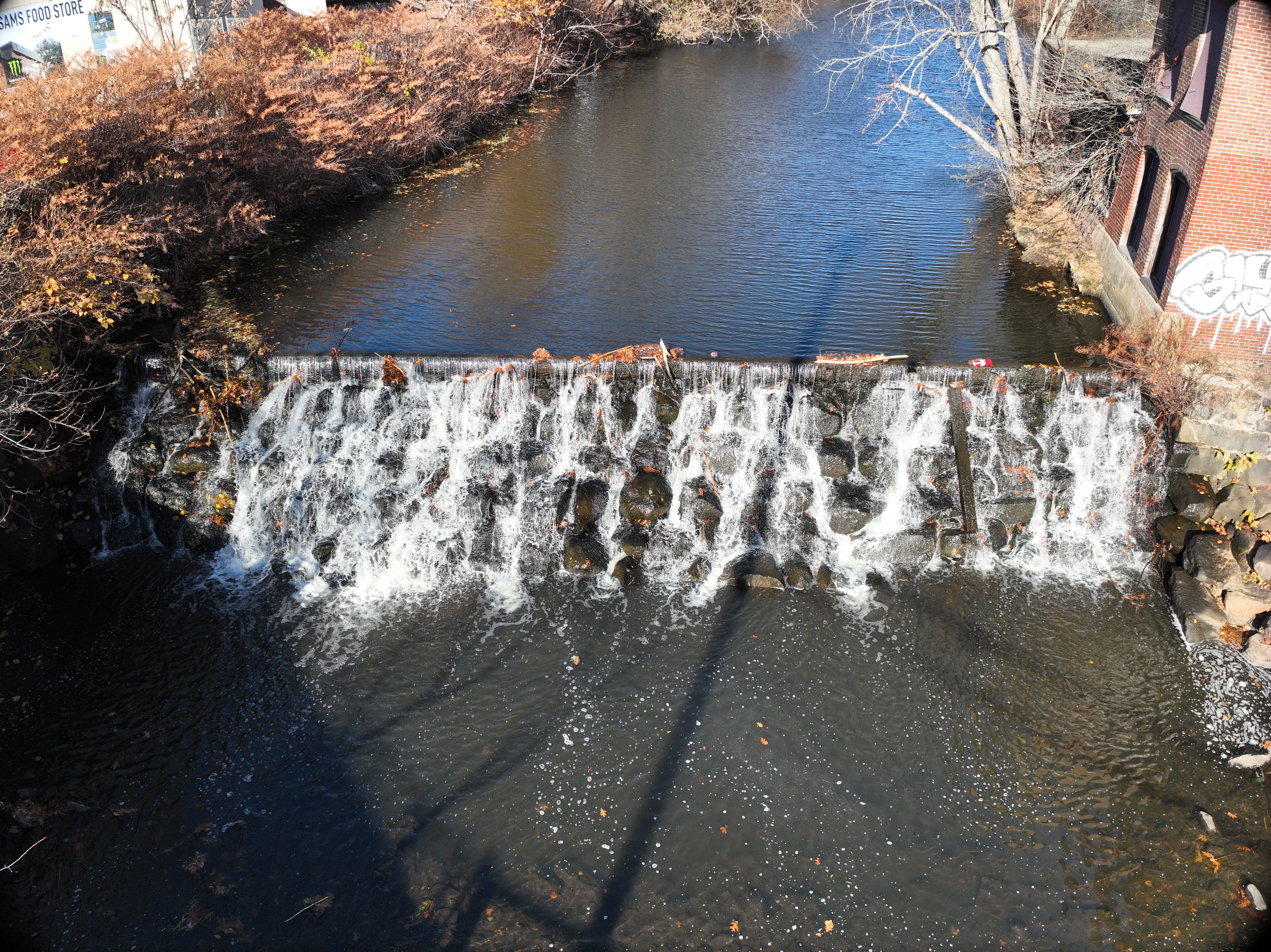
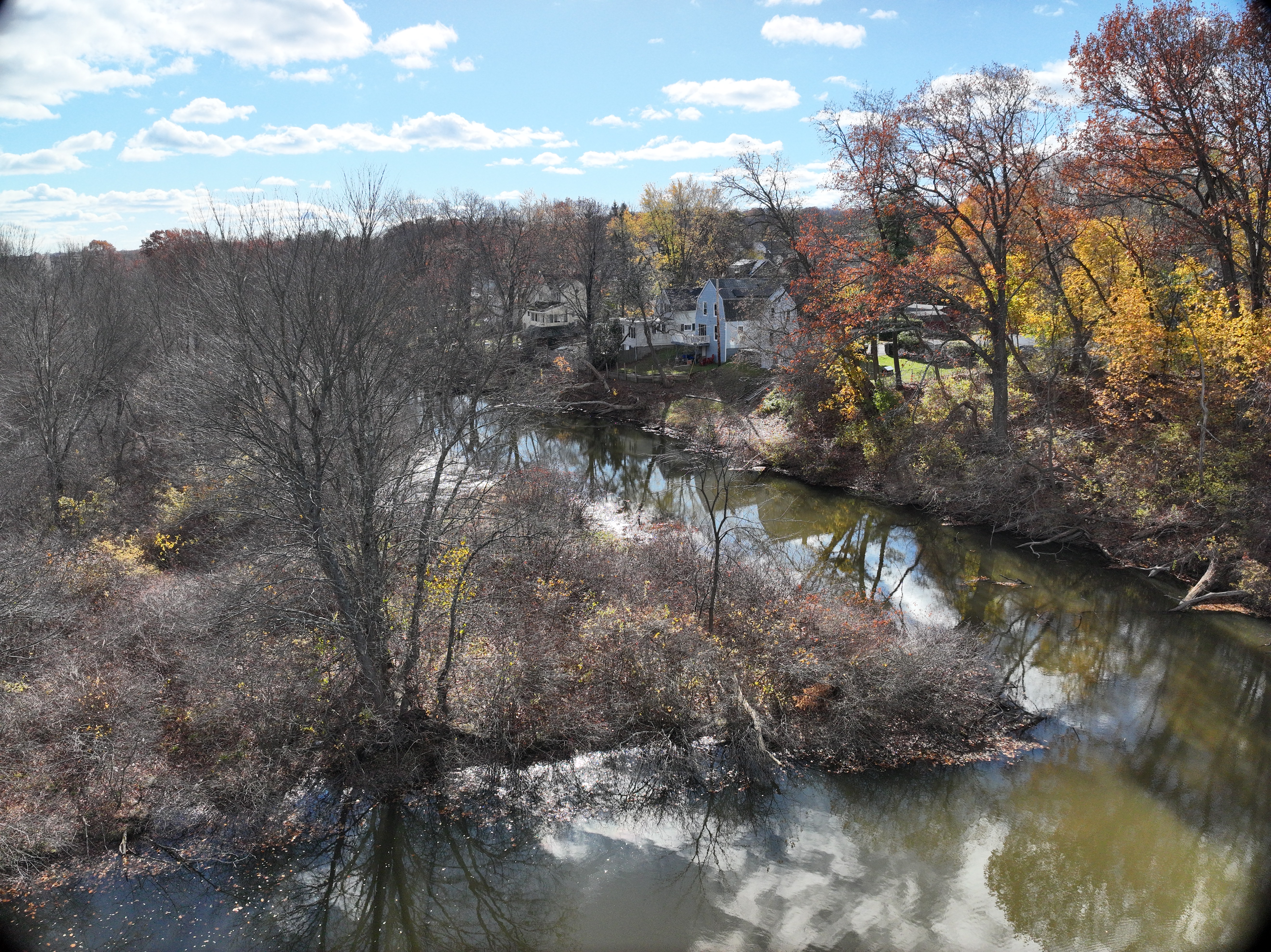
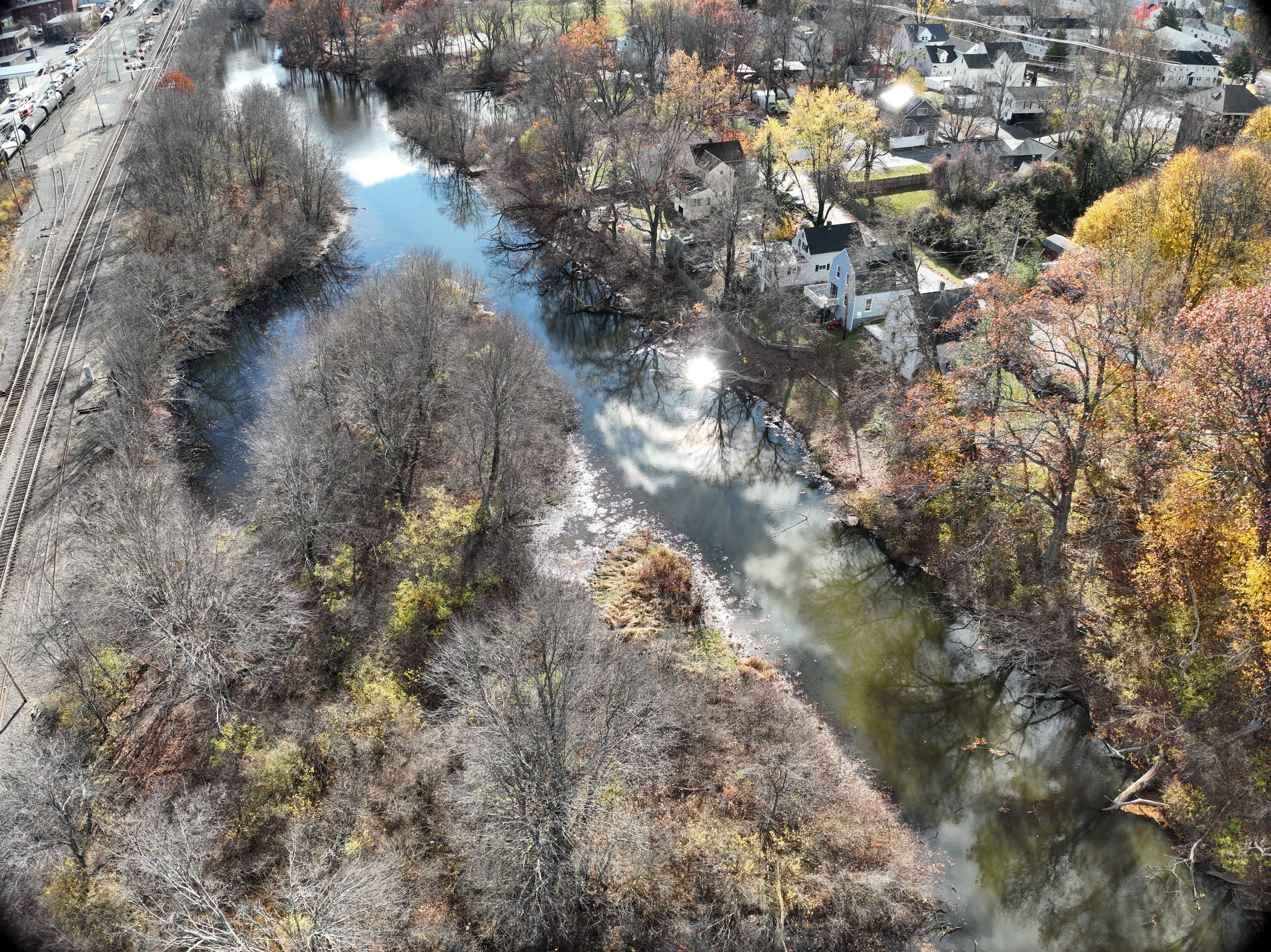
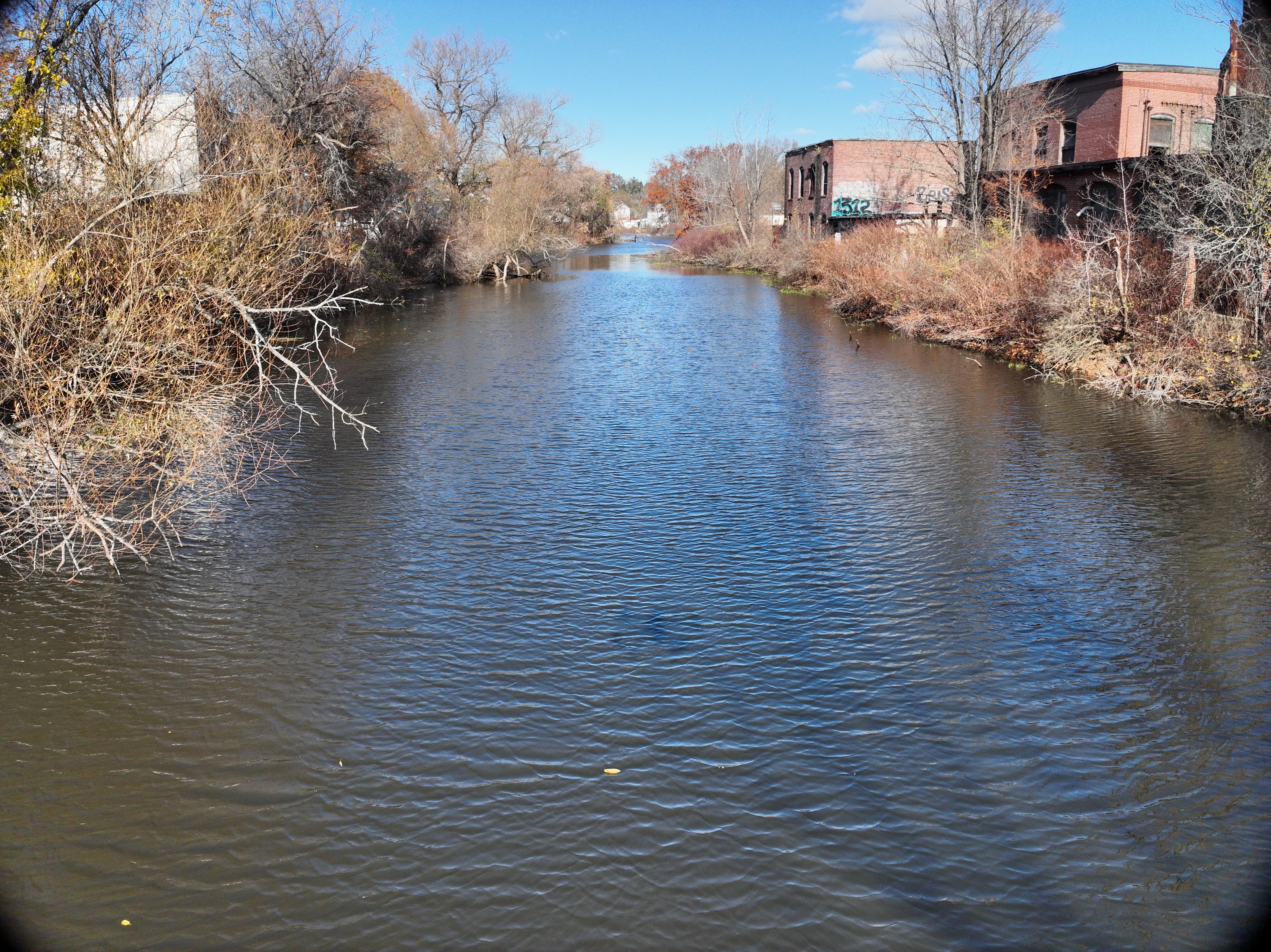
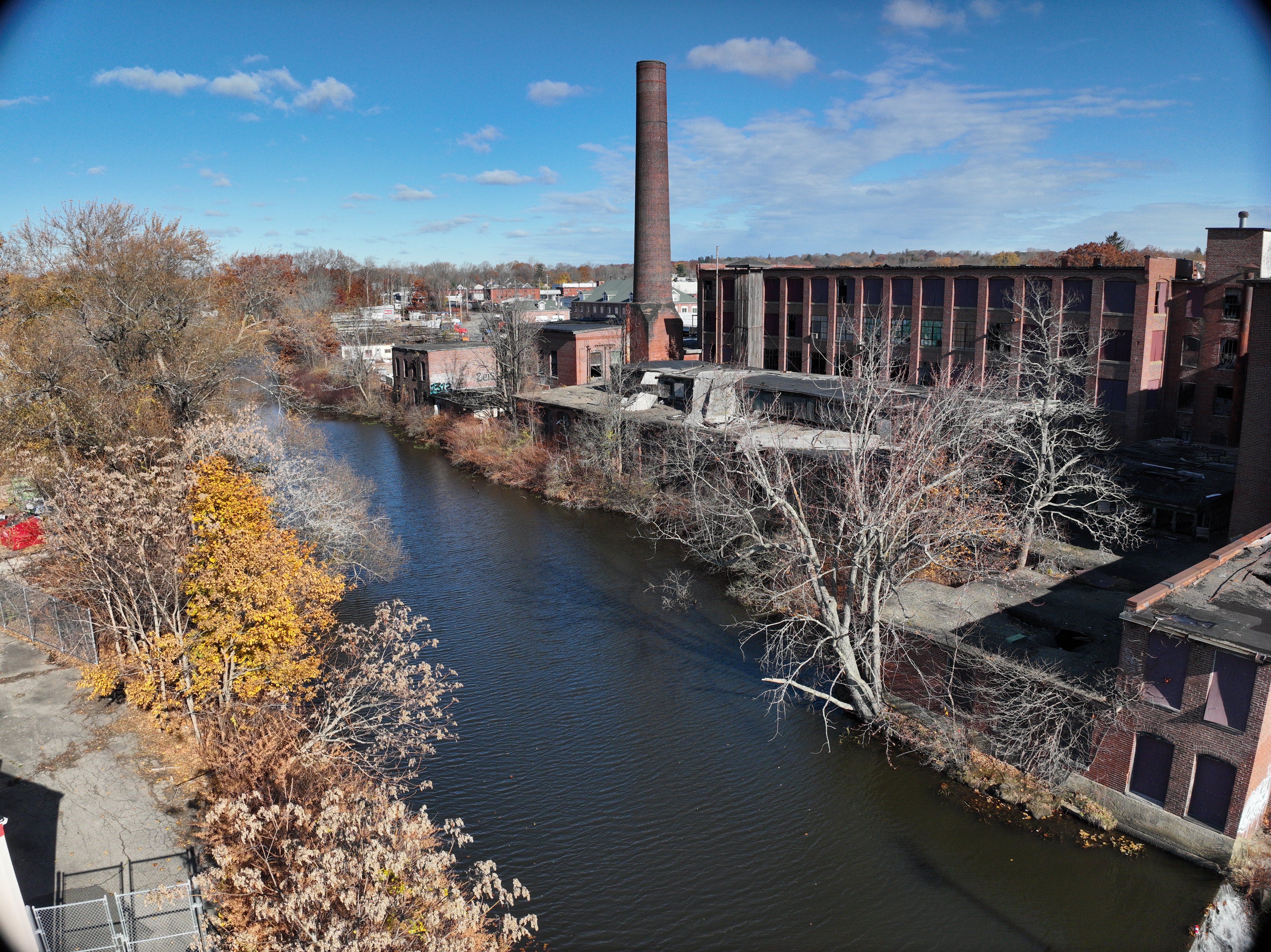
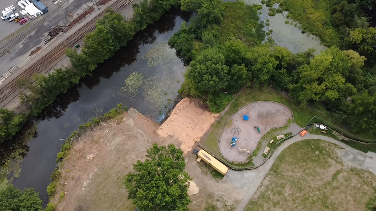
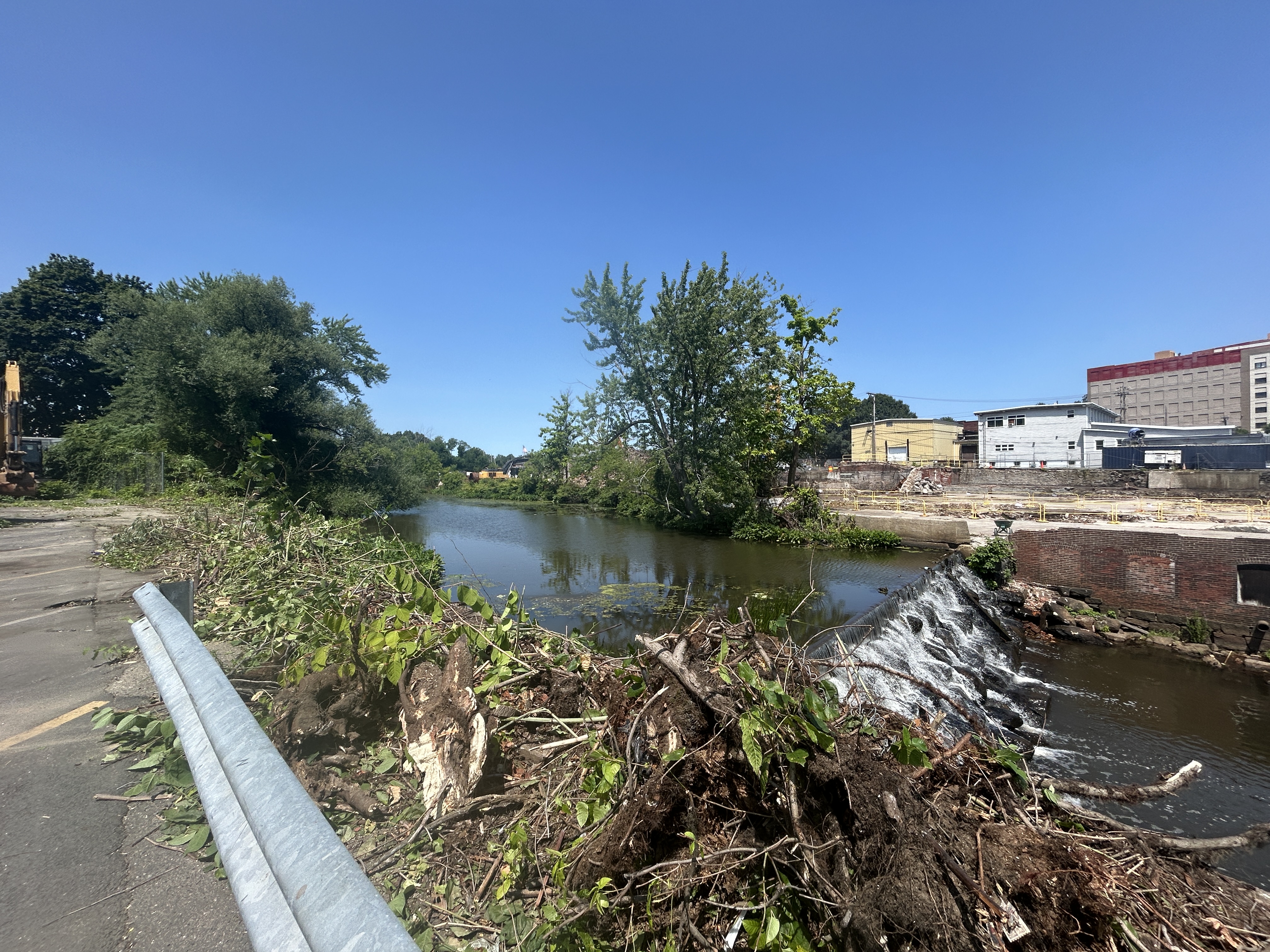
Little River Dam is a stone masonry dam with a granite block crest approximately 75 feet in length. The dam is located approximately 70 feet upstream of Winter Street (Route 97). The dam consists of a cascading granite block masonry gravity structure with a maximum height of 12 feet. The downstream face of the dam consists of granite blocks or cobbles, over which the spillway flow cascades to dissipate energy before continuing into the downstream channel. The dam is immediately adjacent to the former Stevens Mill Building (aka Pentucket Mill), the foundation of which is integrated with the left dam abutment.
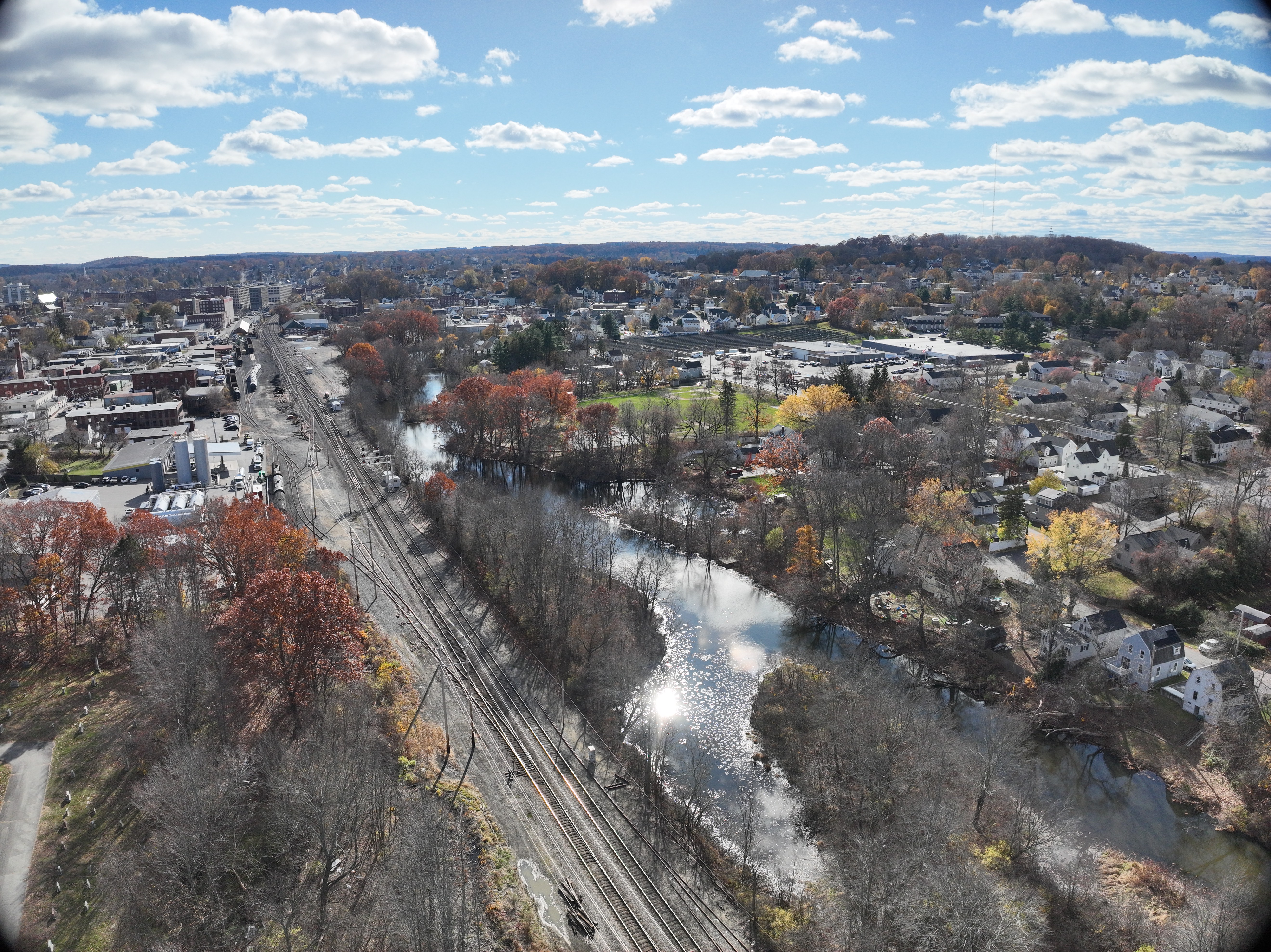
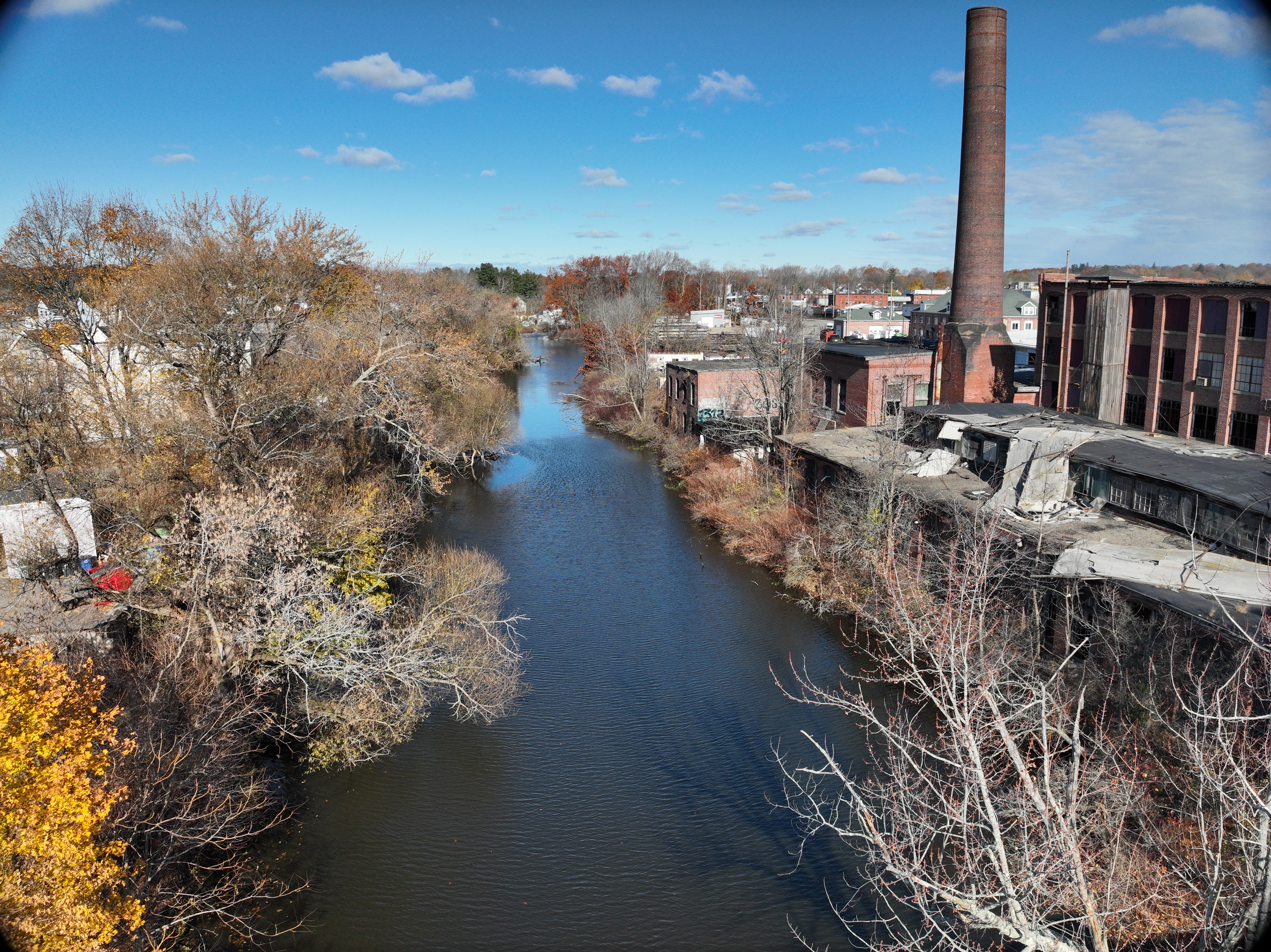
The Little River Dam is a relic of the City’s industrial legacy. It was a source of mechanical hydropower to power the former neighboring mill in the 1800’s if not earlier. The mill was expanded several times over its history and mechanical hydropower was replaced with hydroelectric power generation. Within the last 40 years, the mill ceased to operate, and the dam was no longer needed for power generation. Prior to the installation of the Little River Dam, the Little River had been a free flowing tidally influenced river. The dam installation became the first barrier to fish passage from the tide waters of the Merrimack River.
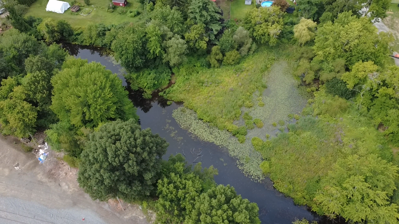
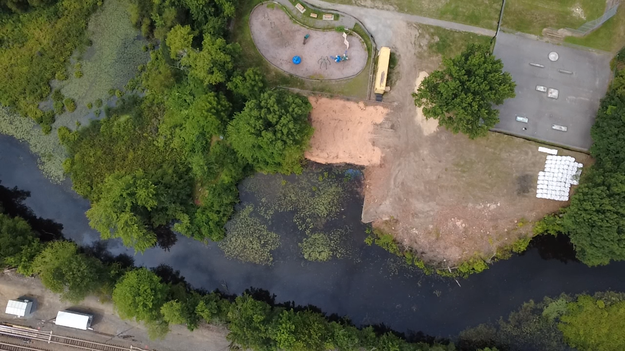
Since that time in the early 1800’s or earlier, the dam has blocked aquatic organism passage, has accumulated sediments, and has backed up water, causing greater flood levels to be experienced upstream during most flood events than would be seen without the dam. The industrial legacy of the areas draining to the river has resulted in the accumulation of sediments with some contaminants. The quality of water within the impoundment became further degraded with the installation of the dam due to the warmer water temperatures of an impoundment as opposed to the cooler waters of a shaded river corridor, and therefore oxygen levels have dropped, resulting in poor habitat for cold water fishery species such as trout. The impoundment instead harbors warm water species and is subject to algal blooms, further depleting oxygen levels.